Aerial Photos of Koitiata
The links on this page provide access to high-resolution versions of a selection from the aerial photos in the history collection. These enable ‘zoomed-in’ viewing of the content, each photo will open individually in your browser window. To close a photo, use the X located top-right in the photo window.
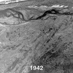
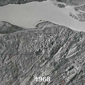
after the sand drift issues, now only a few remainers
the village and meandering river from 5000 metres
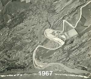
the river mouth is doing its relocation thing
now that looks like it’s a challenge to cross the river
expansive lake before the next river mouth relocation
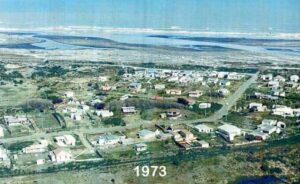
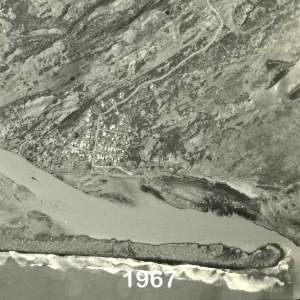
village is expanding, just like the river
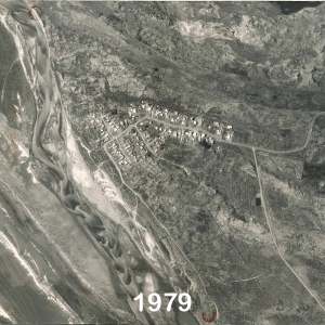
the first forest plantings are visible
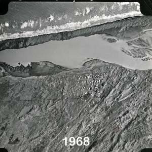
after the river mouth broke through
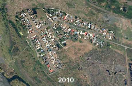
new end of Rapaki street is filling up
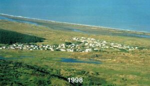
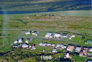
the village now has the ‘full’ sign up
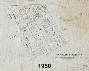
Maps of Koitiata
The links on this page provide access to high-resolution versions of a selection from the maps in the history collection. These enable ‘zoomed-in’ viewing of the content, each map will open individually in your browser window. To close a map, use the X located top-right in the map window.
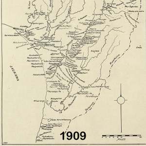
early Rangitikei, before Koitiata
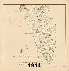
Koitiata, survey district, lake and stream
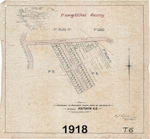
getting ready, township survey
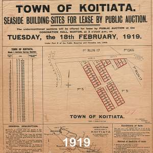
at last, seaside sites for sale
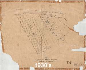
village after sand drift problems
Omanu street is surveyed
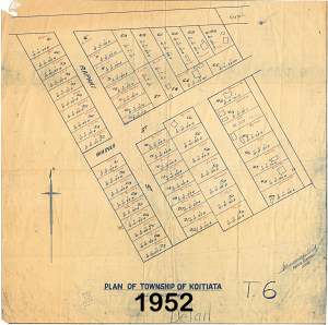
Omanu street and the village is full
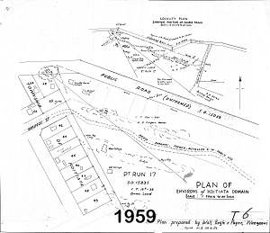
Wainui street is coming soon
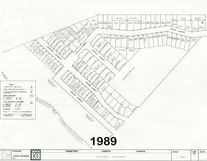
Rapaki street extension has been added